Every summer, Colorado’s wildfire season reshapes travel plans, and the state’s fire‑ban map has become a must‑check tool for anyone heading outdoors. Whether you’re eyeing downtown Denver’s skyline or the alpine trails of the Rockies, understanding the map’s alerts helps you avoid road closures, stay safe, and still enjoy a memorable getaway.
Why the Fire Ban Map Matters
The Colorado Fire Ban Map aggregates real‑time data from the Colorado Division of Fire Prevention & Control, highlighting areas under fire restrictions, evacuation orders, and active suppression zones. When a fire ignites, the map instantly flags the surrounding region, shifting colors from green (no restrictions) to yellow (partial bans) and red (full closures). This visual cue is crucial for travelers who might otherwise drive into a smoke‑filled canyon or arrive at a campsite that’s suddenly off‑limits.

Reading the Map: Colors, Codes, and Timing
Three key layers dominate the interface:
- Green zones – No fire restrictions; campgrounds, trailheads, and roadways operate normally.
- Yellow zones – Limited campfire use, possible road closures, and heightened air‑quality alerts.
- Red zones – Full closures, mandatory evacuations, and prohibited outdoor cooking.
Each color is time‑stamped, so you can see when a restriction is expected to lift. The map also offers a “download PDF” button for offline reference—a handy backup when cell service drops in remote valleys.
City‑Based Stays: When the Skyline Calls
If the fire ban covers the mountains but leaves Denver untouched, pivot to urban activities. The city’s museums, breweries, and rooftop bars remain open, and the lack of smoke can actually make the skyline clearer than usual. Check the map for any “urban evacuation” alerts; they’re rare but can happen if a fire approaches the metro perimeter.

Mountain Adventures When Fires Are Active
Should your itinerary include hiking, biking, or fishing, follow these steps:
- Identify green trailheads. Use the map’s filter to isolate campgrounds without restrictions.
- Verify road conditions. Even if a trail is open, access roads may be closed due to smoke or fire crews.
- Check air‑quality indices. The map links to EPA AQI readings; plan low‑intensity activities if the AQI exceeds 100.
- Carry a portable charger and a paper map. Power outages are common near active fires.
For example, the Estes Park area often shifts to yellow during July, allowing day hikes but banning campfires. In that scenario, swap a night‑under‑stars plan for a stay at a downtown lodge where fire‑safe cooking is permitted.
Backup Plans and Real‑Time Alerts
Never rely on a single source. Subscribe to the Colorado Wildfire Alerts app, which pushes push notifications the moment a fire changes status. Pair this with the map’s email updates, and you’ll have a double safety net. If a red zone expands toward your campsite, the app will suggest nearby alternative sites that remain green.
Packing Checklist for a Fire‑Aware Trip
- Mask or respirator for smoky conditions.
- Reusable water bottle and water‑purification tablets (smoke can affect water sources).
- Fire‑proof camping gear—metal stoves instead of open flames.
- Portable air purifier for lodging in areas with lingering smoke.
- Printed copy of the fire‑ban map and a local ranger contact number.
By treating the fire‑ban map as a travel companion rather than an obstacle, you can fluidly shift between city comforts and wilderness thrills, ensuring that Colorado’s summer blaze doesn’t dim your vacation sparkle.
Estes Park Colorado Mountain Valley Free Stock Photo - Public Domain
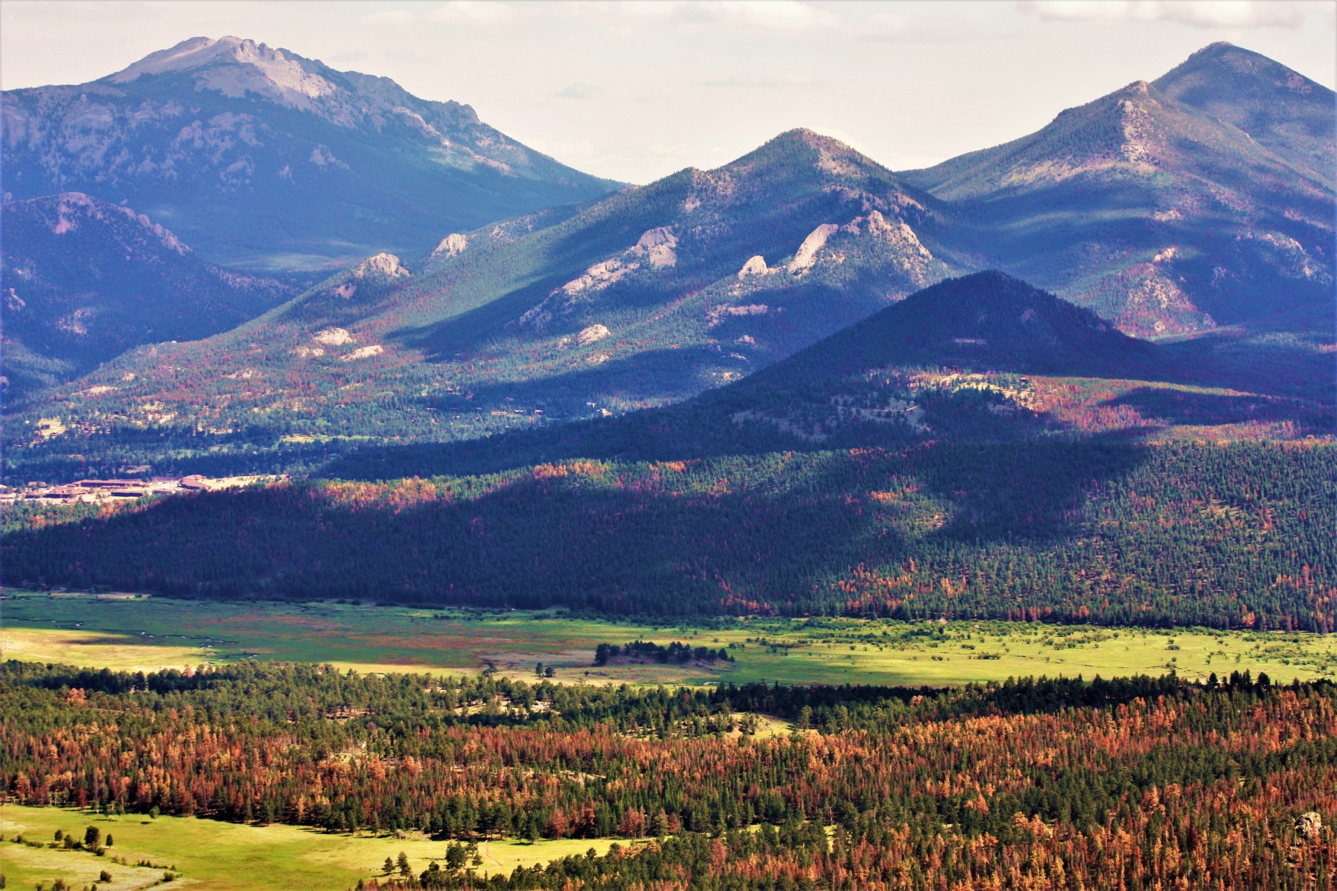
Estes Park Colorado Mountain Valley Free Stock Photo - Public Domain ...
The Garden Of The Gods, A Public Park In Colorado Springs, Colorado US

The Garden of the Gods, a public park in Colorado Springs, Colorado US ...
Free Images : Landscape, Wilderness, Snow, Sandstone, Valley, Mountain

Free Images : landscape, wilderness, snow, sandstone, valley, mountain ...